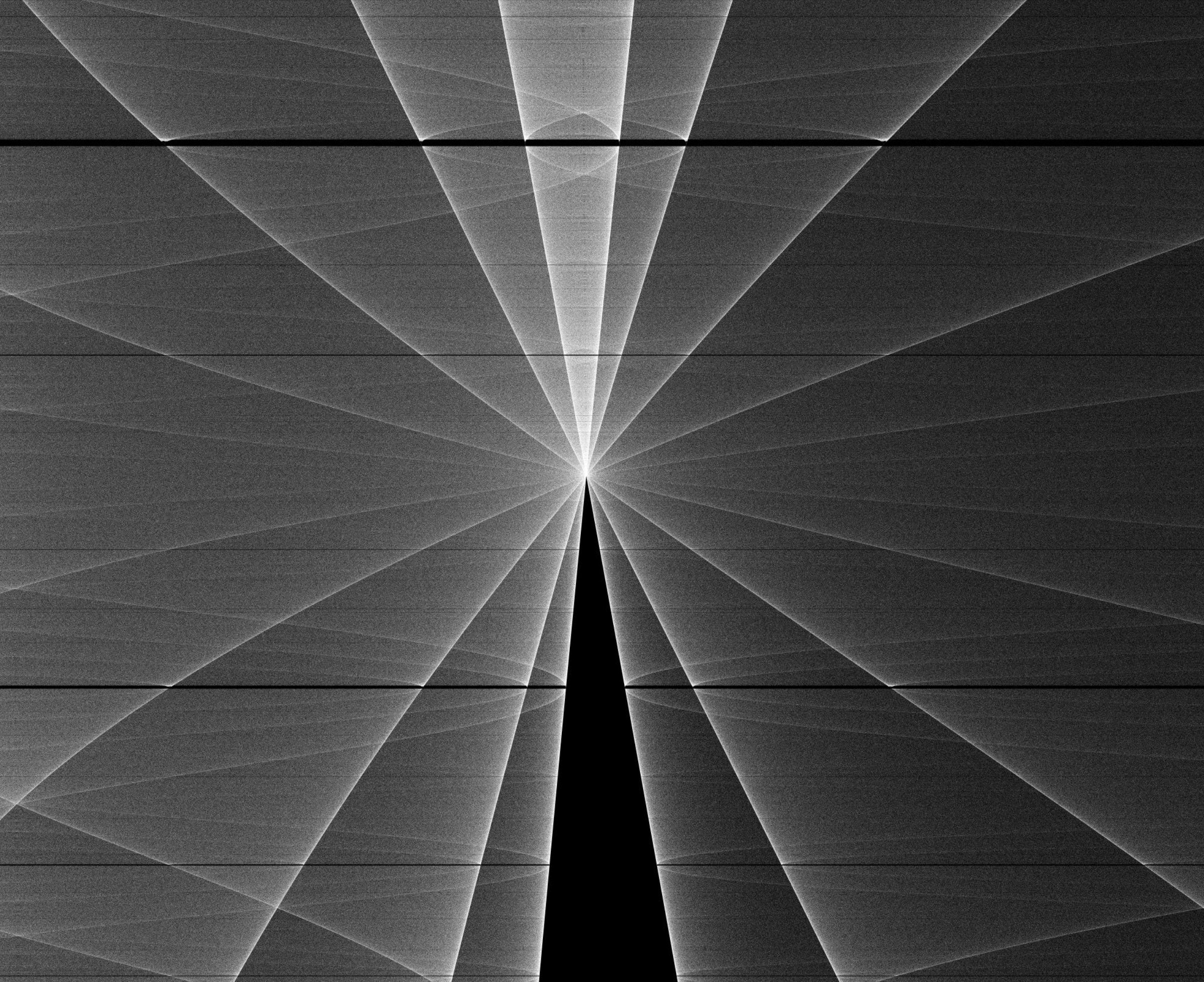
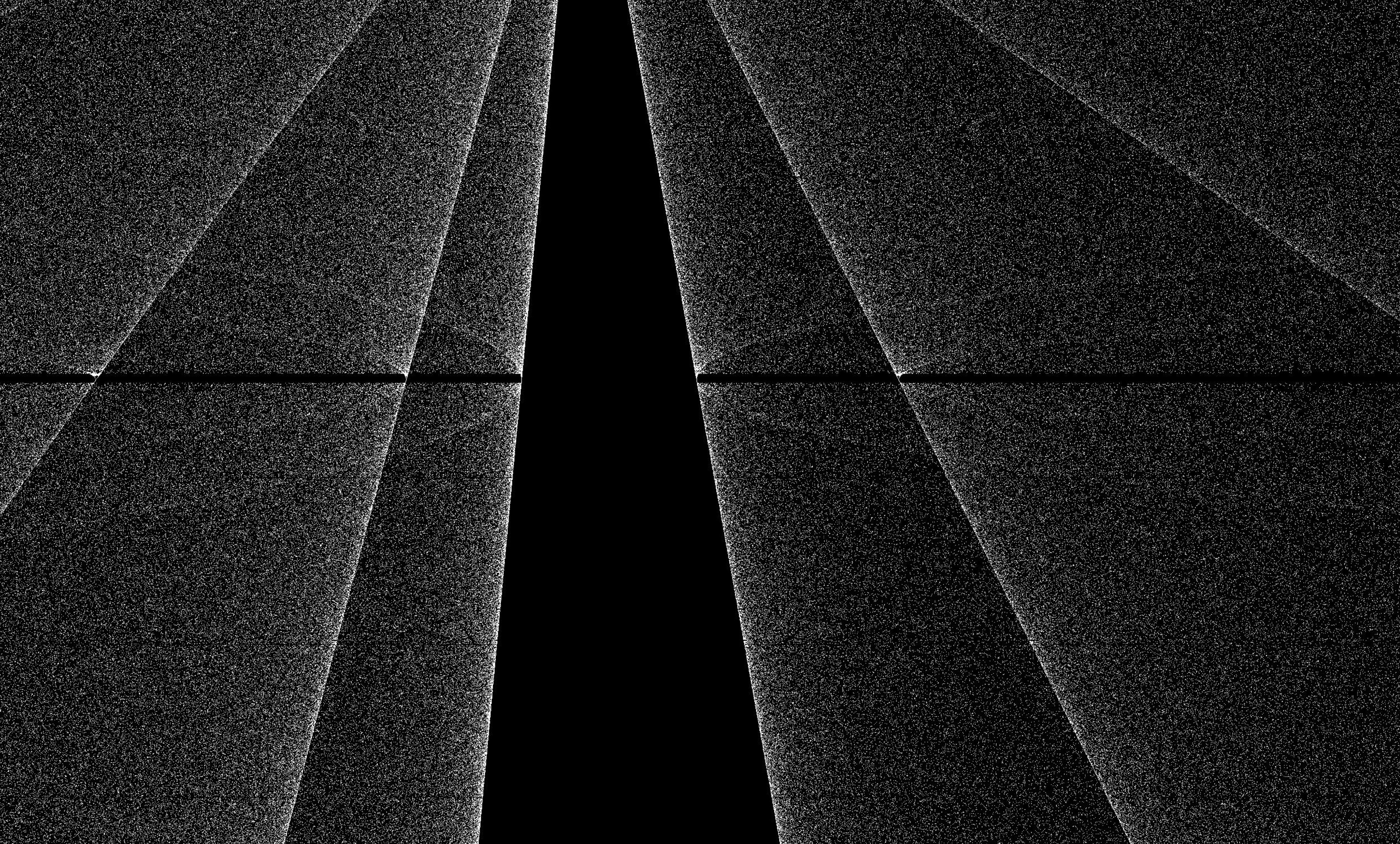
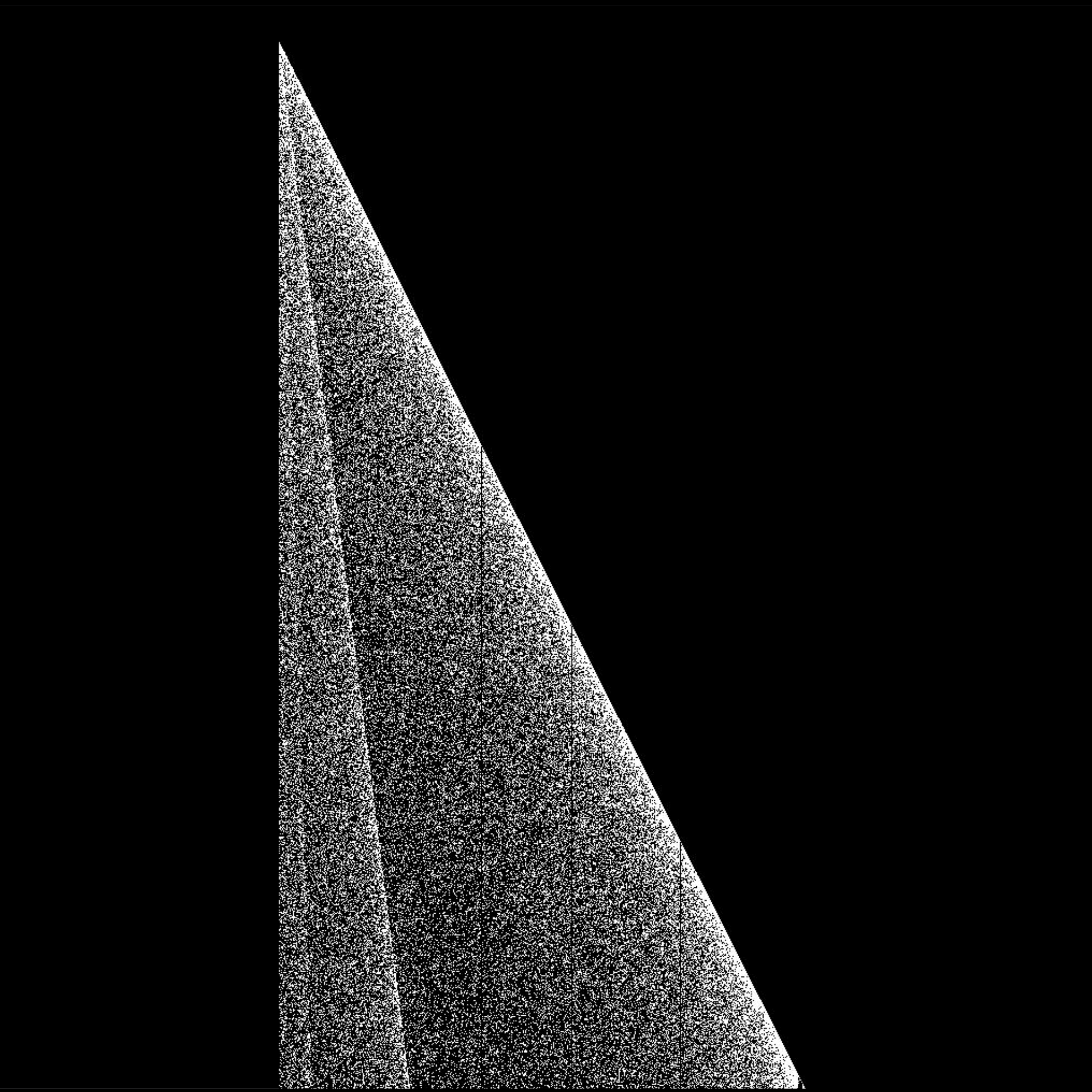
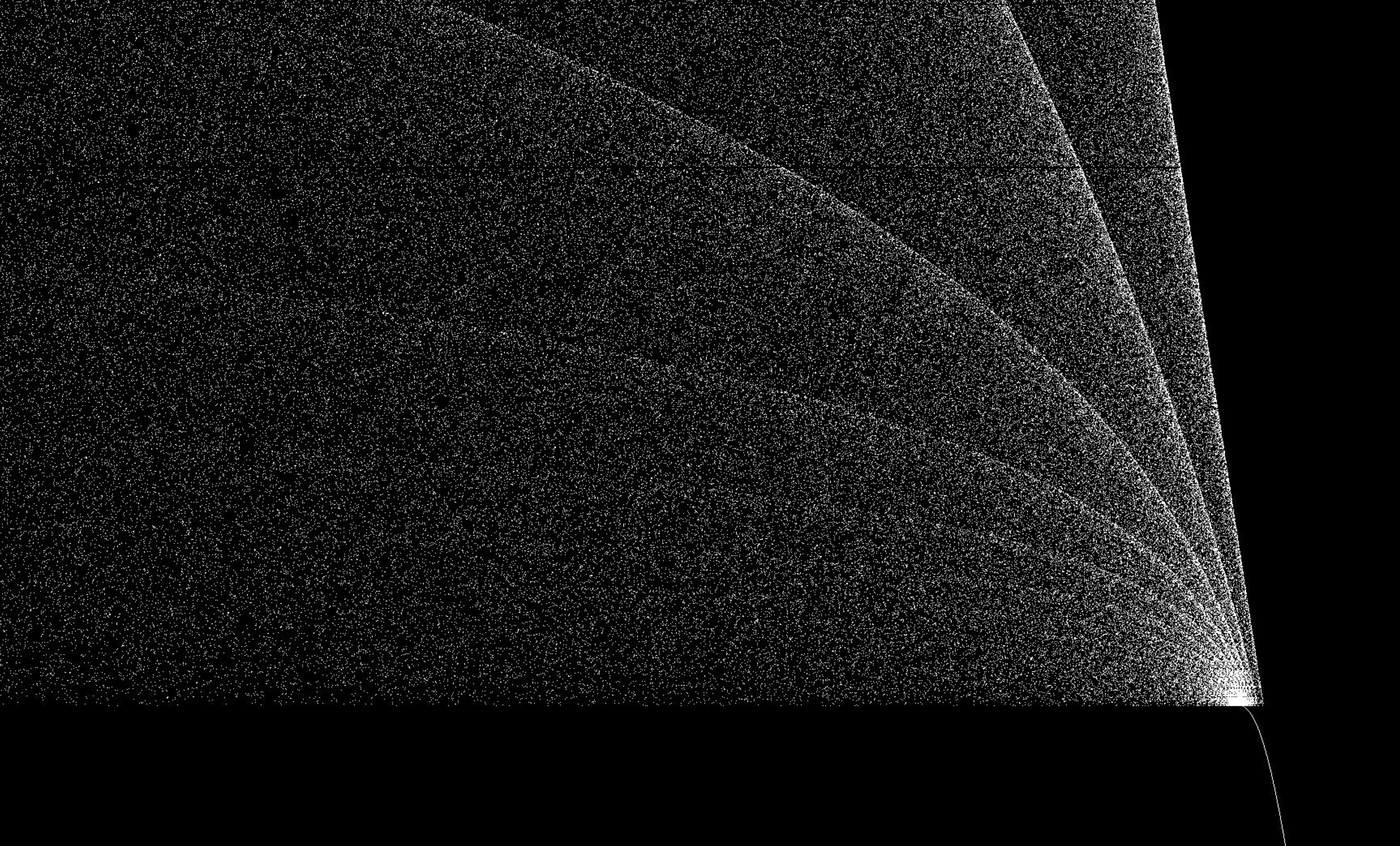
logistic landscapes
the logistic landscapes are a series of images captured from the logistic map bifurcation diagram. the diagram is generated as a sequence of vertical slices of the diagram rendered by a custom program for the purpose.
these images are landscape photography for math. the places exist in themselves, and I merely appreciate them and capture them through the lens of a computational telescope.

luftschloss
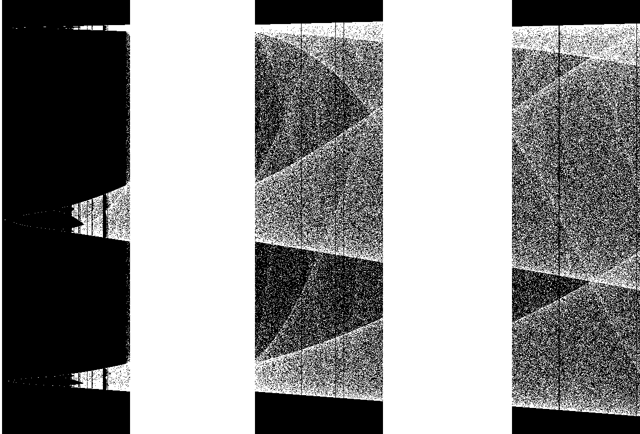
mirv
night bridge
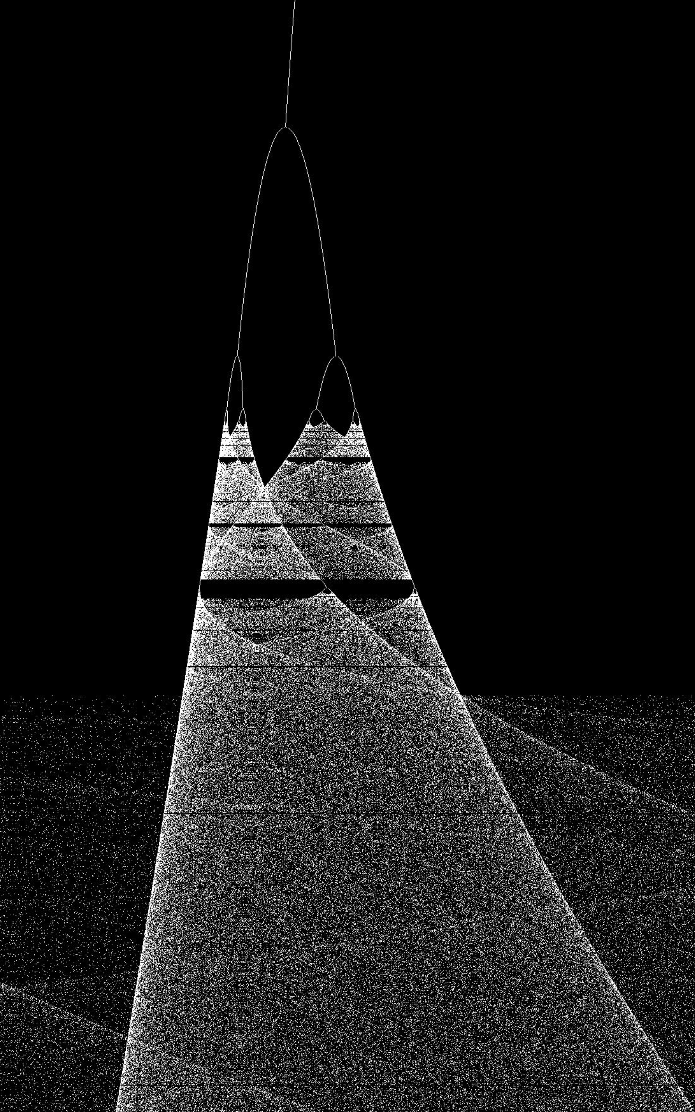
the road
space-elevator cable
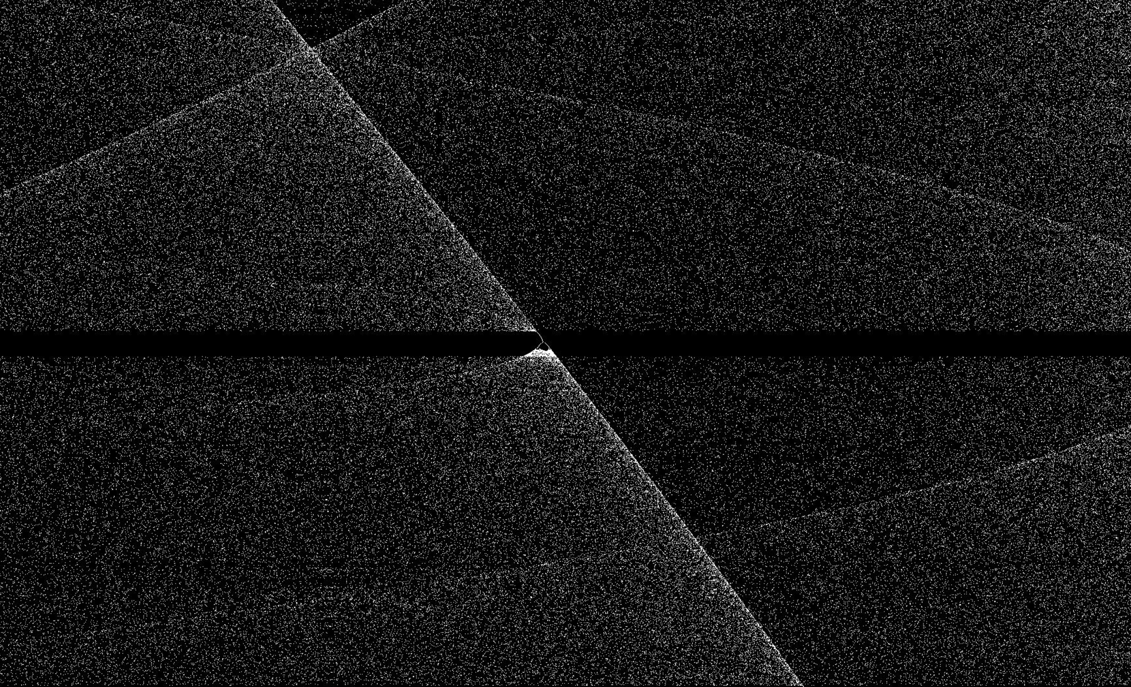
phase change